rDay One-Hundred-Twenty-Eight: Charlie Romping Ground

pano_eou-forest-service_8247x900_annotatedThis panorama shows one of Devil-Dog Charlie’s favorite venues.  

To see the annotations and other details, you may want to save the image file so that you can see it with something that will let you zoom in small sections.  For example, if you use Windows, you might right-click on the expanded view here and Save As … to get a separate copy so that you can then use the zoom controls in Windows preview.  The base file is 8247 pixels wide by 900 pixels high.

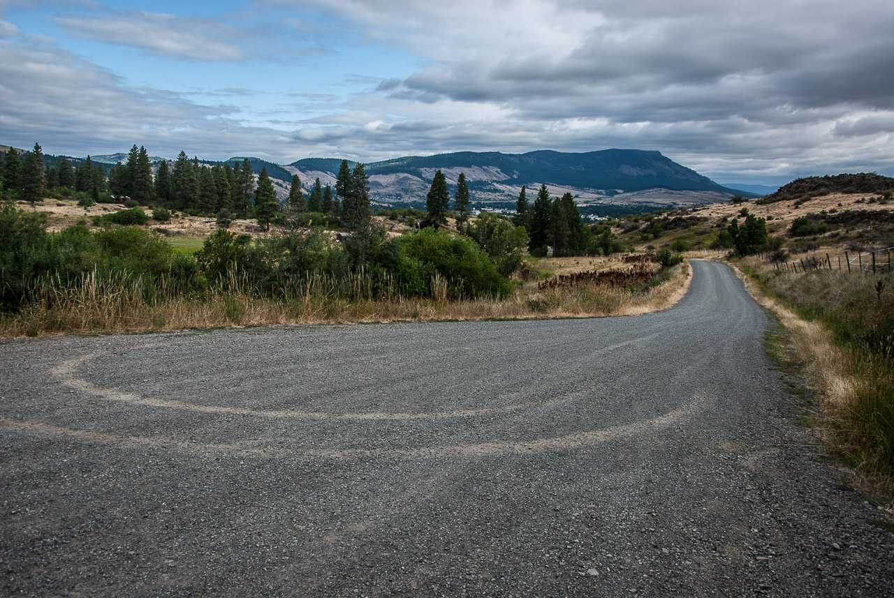
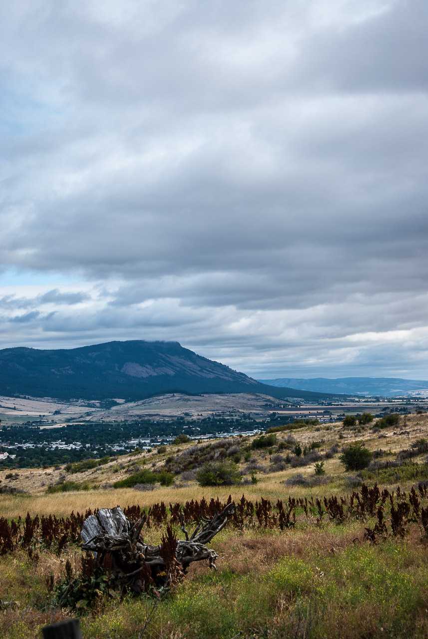
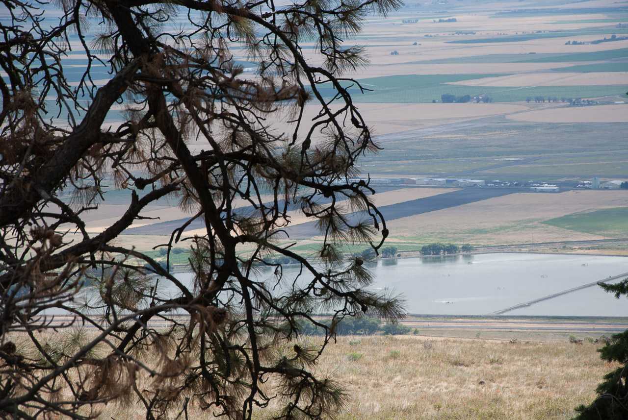
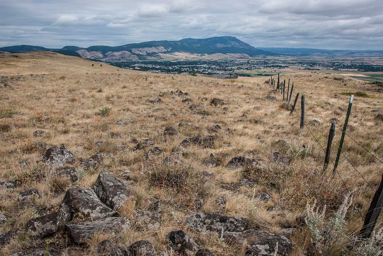
This image is almost, but not quite, full circle.  Looking at it grossly, approximately the left one-third represents an east-to-south orientation, with the central third mostly easterly-looking, while the right-hand one-third sweeps south and then west.

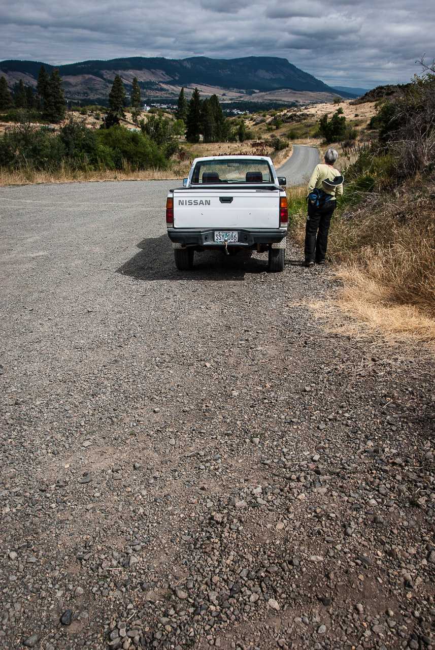
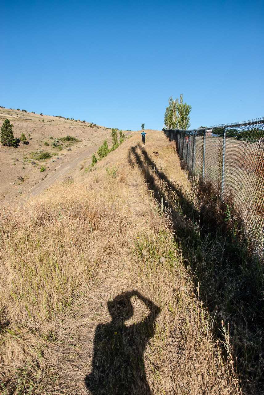
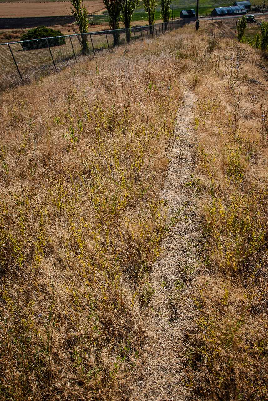
A typical “short” dog-walk takes us from our house through the EOU campus, into the Hillcrest (Main or West) Cemetery to its east, then across 12th Street to the Hillcrest East Cemetery, looping its perimeter (where we can overlook GRR and much more), the along the south edge of the NG Armory into the undeveloped fields (including the wetland area we refer to as “The Swamp”) between EOU and the Forest Service complex, then either returning along 6th Street or perhaps crossing back into the campus and back home.

rDay One-Hundred-Twenty-Three

On a rather cool and intermittently overcast Sunday morning, we head out for a 2.5 hour (seemed like over 3 to me) foray up 12th Street, transitioning to Bushnell Road, then Bushnell Trail, then essentially cowpaths through heavy forest.

Astonishingly, as we followed a rough side trail, we came upon a friendly jogger.  He crossed over a fence, which he said was the border of his own property and continued on his way up a sharp rise through thigh-high grass and brush.  So we struck off in the opposite direction up a steep path to a ridge (after climbing a gate of ambiguous ownership), discovering at the top indications of both natural gas pipelines and fiber optic burial grounds.    From there we had an overlook of the Grande Ronde Valley (and a mystery pond — still to be identified), and proceeded to follow a fence line in the direction of Mt. Emily.  

When we saw that we appeared to be several hilltops (i.e., a couple of miles by my reckoning but probably not by Kim’s) behind the site of the communication tower above the Grandview Cemetery, we realized that continuing in that direction would leave us miles away from where the truck had been parked.  So we turned left across a wide expanse of grass and rock to return to the treeline, hoping to stumble upon Bushnell Trail again.   Which we eventually did.  No wolf sightings today.

rDay One Hundred Twenty Two

Up early this morning, found Kim and Charlie walking the EOU campus, joined them to look at the new landscaping and flower gardens, then did the customary cemetery walks and traversed the “jungle/swamp” between EOU and the Forest Service offices.

Upon returning home, we decided to do farmers’ market, where we lingered for some time as one of our very favorite and arguably the best jazz ensemble in northeast Oregon was performing. It was the Matt Cooper X-tet (we are told that the “X” indicates the unknown numbers of people who will show up), with Matt Cooper on keyboards, Sharon Porter on vocals, Greg Johnson on saxophone, and Teun Fetz on drums. These people are or have been EOU music faculty, as well. Matter of fact, the first-ever EOU concert I attended at EOU in 1995 was a classical piano recital by Matt Cooper; that was when I introduced myself and he told me that he had just released a new CD. Hey, we also came home from farmers’ market with blueberries, raspberries and green sting beans.

rDay One-Twenty-One

1.  At about 10am our time, Ivi sends email:

Just letting everyone know I’ve made it to Montana safely,

2.  Earlier/local news:  We arose early and by 6:30am, Kim, Lawrence and Charlie were seeking entrance to hiking trails to Glass Hill via Foothill Road.  Got close but learned the Contemptible Cur was not welcome, but we peeked inside the elk barn, checked out the immediate area, then retreated to Grandview for a proper exorcising/exercising of The Beast.

rDay One-Hundred-Sixteen

First, we check on the status of MommaBird (aka Mrs. Robin).  And she’s okay, situation apparently unchanged.  But that’s not all we can see out the kitchen window …
20150719-DSC_0001
Second, we gear up for a Sunday morning trek with the Contemptible Cur, again to “OTEC Ridge” (aka Father’s Day Trail) above the cemetery.  

Let’s set the scene, starting with the view of our destination from the lower maintenance road at the extreme east edge of the cemetery, looking south toward the ridge and showing the rough route that we will hike to circle around the chain link fence surrounding the cemetery and turn uphill, at first along a narrow path above a lower gulch, then onto a steep (despite the photo perspective’s appearance) off-road ATV vehicle-only gravel to the AT&T communications tower.  (That was one paragraph …)
OTEC_ridge_destination-view
Now we have hit the gravel trail, with the AT&T tower behind us, so we can overlook the cemetery (looking west and north to Mt. Emily), along with much of the city and surrounding valley.
OTEC_ridge_looking-over-cemetery
Here are some snapshots of the hike itself.


Finally, here is a panorama shot of the backside of the ridge, to the south of the communications tower, and leading to Mount Emily in the northwest (you may recall that we displayed a pano shot overlooking the valley in the other direction in a previous post).

Pixel Dimensions: 6917 x 900 (please zoom)

rDay One-Twelve

A final jaunt downtown after the evening news to watch the disappearing light, note the absence of activity along the main drag by 8:30pm, pass by the old library-now-art center, check out the continuing construction of the new court house …


… and arrive home for a final romp of the day with Evil-Eyed Charlie.
20150715-DSC_0049