Category: travel
A Trepidatious Trip to the Tri-Cities
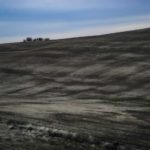
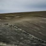
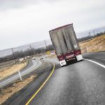
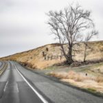
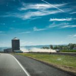
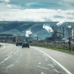
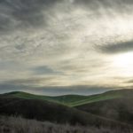
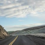
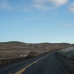
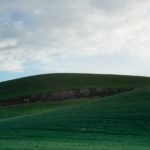
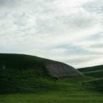
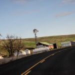
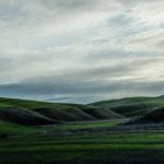
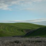
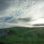
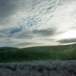
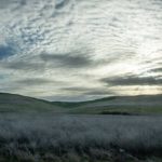
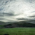
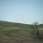
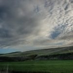
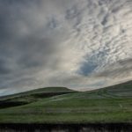
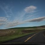
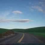
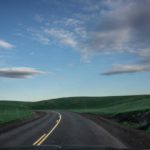
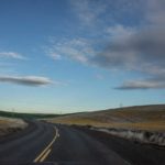
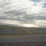
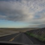
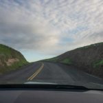
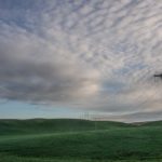
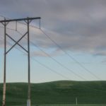
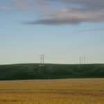
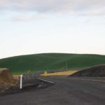
Ignore that title. Just the usual overblown and silly medical exam angst … but it was augmented with the usual impressionist windshield photography:
Highway Eleven Windshield Photography
[rDay Seventeen-Hundred-Thirty]
Mothers’ Day, Phase Two
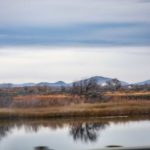
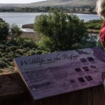
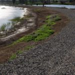
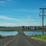
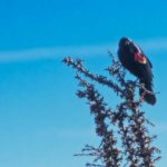
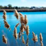
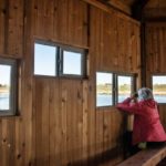
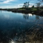
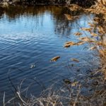
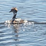
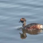
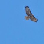
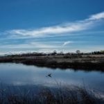
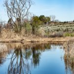
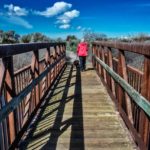
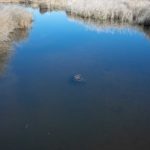
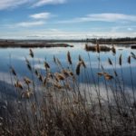
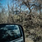
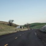
After an hour or two of Bennington Lake sunrise and hiking, we head back toward WaWaWA. But Kim decides that she wants to travel to the McNary Wildlife Refuge. So we continue driving, heading up Hwy 12 toward Wallula for about half an hour, doing the usual “windshield photography” along the way. Then it is over gravel and dirt quasi-roads. Another hour or two of hiking around the Refuge ensues. We are vigilant for ticks and such varmints as we push through the brush and around the swampish wetlands. Kim declares this venue to be the best one yet discovered locally for birding.
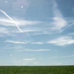
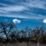
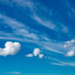
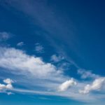
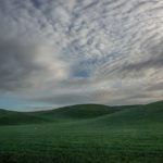
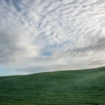
P.S. The matter of the “secret cloud message” is further considered at HHR.
[rDay Fifteen-Hundred-Ten]
Mothers’ Day, Phase One
Up at four a.m. Objective: see the sunrise at Bennington Lake. We leave while the neighbor still has his Christmas (!) lights aglow. Even at 5 a.m., we find fisherpersons just arriving as well. And just a bit later, we see several people illicitly swimming across the lake. We only circumnavigate about half of the lake, instead concentrating on the bird-intense swampy areas. I spot about three herons and some geese, and hear many more of something, but KAE has spotted and ID’d many more. After a coupe of hours, we head out for the next MDay adventure. Too many projects, too much backlog, too little time — I don’t have time to be more selective, so here goes a bigger batch of documentation than I had intended:
[rDay Fifteen-Hundred-Ten]
rDay Fifteen-Hundred-One, Continued
A few more from Scenic Loop Road and Mormon Grade Road …
rDay Fifteen-Hundred-One
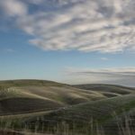
Kim surprises us with an extended early morning drive up Isaacs, out of town to Five Mile Road (with windshield photography opportunities to capture the almost abstract rolling hills, of which I cannot get enough):
Then we head up Scenic Loop Road and Mormon Grade Road:
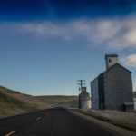
And back down into the next valley to the east, connecting with Mill Creek Road and more windshield grabs of relics along the way:
Stopping over at Rooks Park, off Mill Creek, and finally home by mid-day.
Tax Day: McNary NWR and Homeward
After checking out Charbonneau Park, we head down the road for a few miles to the McNary National Wildlife Refuge:
[rDay Fourteen-Hundred-Eighty-Two]
Tax Day: Charbonneau Park
[rDay Fourteen-Hundred-Eighty-Two]
Tax Day: Harvey Shaw Road
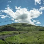
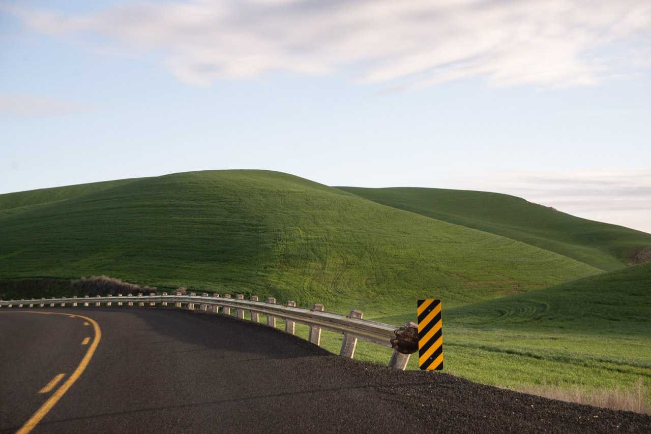
We decide to celebrate Tax Day with some sightseeing and travel to Charbonneau Park, about an hour north of our home. Our plan was to continue from there on to the west to the McNary National Wildlife Refuge. The first leg of the trip immediately out of Walla Walla took us through the rolling farming territory where we traversed Harvey Shaw Road for about twenty or thirty miles on our way to intersect with main highways leading into our destinations. We were underway by seven a.m. and experienced the almost magical effect of the early morning sun on the minimalist landscape, allowing a splendid opportunity for the quaint exercise of in-motion, on-the-fly “windshield photography”. To give you a sense of the visuals of our drive, one of my favorite captures during our stint over Harvey Shaw Road is this:
Other examples documenting our initial half-hour of travel follow:
P.S. If you are a long-time Windows user, you might see something above that reminds you of this Northern California landscape.
[rDay Fourteen-Hundred-Eighty-Two]
