rDay One-Hundred-Twenty-Three

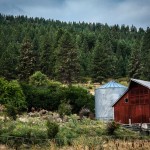
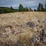
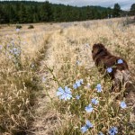
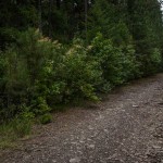
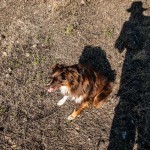
On a rather cool and intermittently overcast Sunday morning, we head out for a 2.5 hour (seemed like over 3 to me) foray up 12th Street, transitioning to Bushnell Road, then Bushnell Trail, then essentially cowpaths through heavy forest.

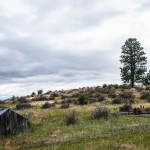
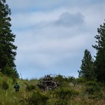
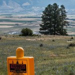
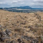
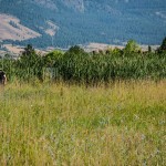
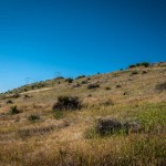
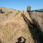
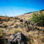
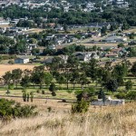
Astonishingly, as we followed a rough side trail, we came upon a friendly jogger.  He crossed over a fence, which he said was the border of his own property and continued on his way up a sharp rise through thigh-high grass and brush.  So we struck off in the opposite direction up a steep path to a ridge (after climbing a gate of ambiguous ownership), discovering at the top indications of both natural gas pipelines and fiber optic burial grounds.    From there we had an overlook of the Grande Ronde Valley (and a mystery pond — still to be identified), and proceeded to follow a fence line in the direction of Mt. Emily.  

When we saw that we appeared to be several hilltops (i.e., a couple of miles by my reckoning but probably not by Kim’s) behind the site of the communication tower above the Grandview Cemetery, we realized that continuing in that direction would leave us miles away from where the truck had been parked.  So we turned left across a wide expanse of grass and rock to return to the treeline, hoping to stumble upon Bushnell Trail again.   Which we eventually did.  No wolf sightings today.

rDay One Hundred Twenty Two

Up early this morning, found Kim and Charlie walking the EOU campus, joined them to look at the new landscaping and flower gardens, then did the customary cemetery walks and traversed the “jungle/swamp” between EOU and the Forest Service offices.

Upon returning home, we decided to do farmers’ market, where we lingered for some time as one of our very favorite and arguably the best jazz ensemble in northeast Oregon was performing. It was the Matt Cooper X-tet (we are told that the “X” indicates the unknown numbers of people who will show up), with Matt Cooper on keyboards, Sharon Porter on vocals, Greg Johnson on saxophone, and Teun Fetz on drums. These people are or have been EOU music faculty, as well. Matter of fact, the first-ever EOU concert I attended at EOU in 1995 was a classical piano recital by Matt Cooper; that was when I introduced myself and he told me that he had just released a new CD. Hey, we also came home from farmers’ market with blueberries, raspberries and green sting beans.

Seeking the Definitive Wedding Photo

Ivi has been given instructions to document the Larkin-Conor affair to the extent practicable. For inspiration, I have to offer my “remix”of this, my favorite wedding photo (photographer: unknown[to me], featuring: Melissa), ever:
DPP_00574208-Edit

This photo is worthy of long and serious study, IMHO. Please pardon the (minor)  liberties I have taken with the original photo. (Please have your legal people contact my legal people, if need be …)

rDay One-Twenty-One

1.  At about 10am our time, Ivi sends email:

Just letting everyone know I’ve made it to Montana safely,

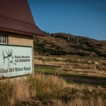
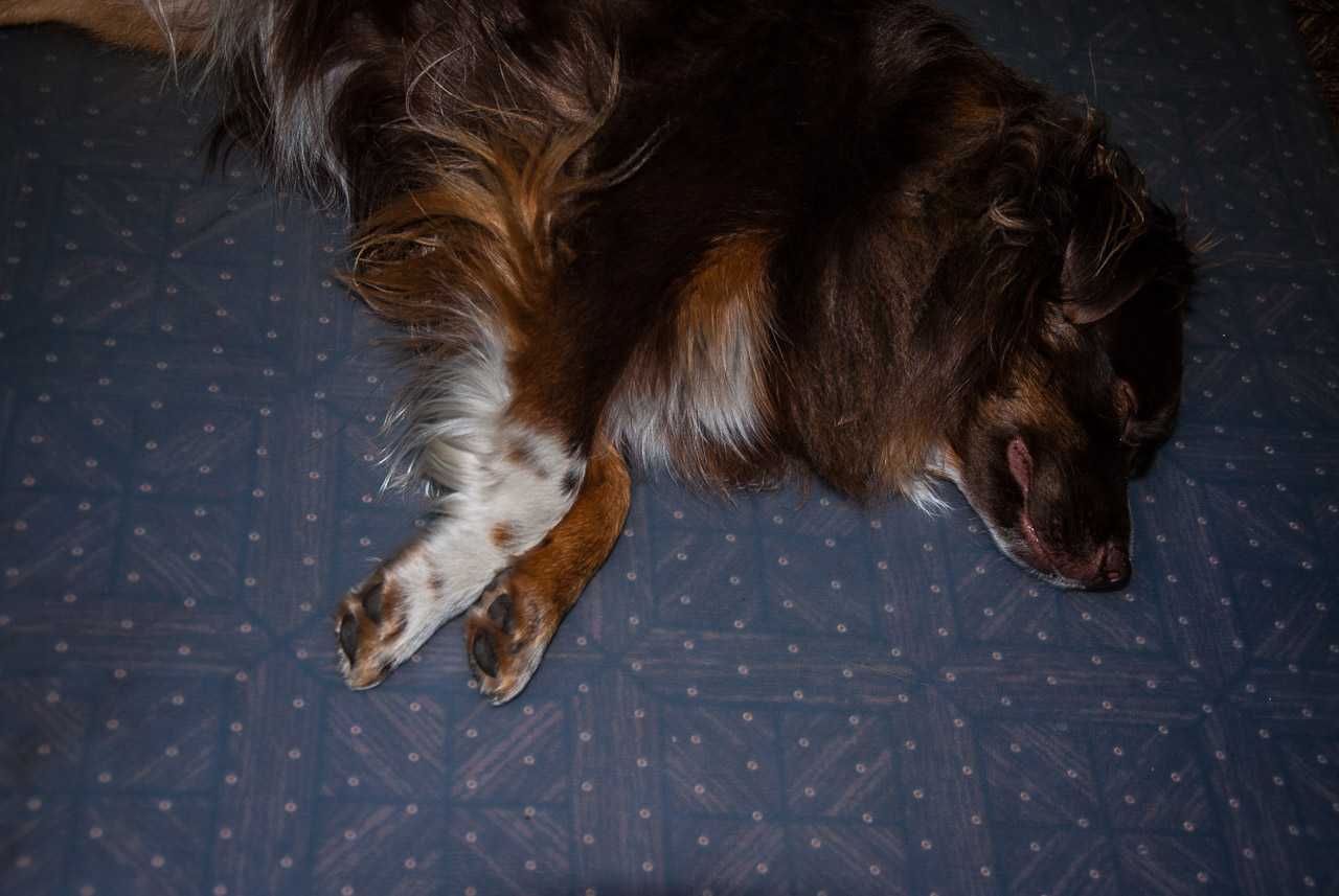
2.  Earlier/local news:  We arose early and by 6:30am, Kim, Lawrence and Charlie were seeking entrance to hiking trails to Glass Hill via Foothill Road.  Got close but learned the Contemptible Cur was not welcome, but we peeked inside the elk barn, checked out the immediate area, then retreated to Grandview for a proper exorcising/exercising of The Beast.

rDay One-Hundred-Nineteen: A Friend of OR-7?

Not A Wolf
Not A Wolf
This afternoon Kim received a call from the local ODFW (Oregon Department of Fish and Wildlife) office, with a likely confirmation of her sighting, more questions and status on the investigation that she has triggered. This followed her earlier report to them of seeing, while in an outing with Charlie in the hills and forest trails above La Grande, a wolf cross their trail not thirty feet away at about 7 am. She gathered up Charlie and reversed direction without further incident. Kim says the animal appeared to be “looking for critters”.

Learn more about Oregon wolves at oregonwild.org (http://www.oregonwild.org/wildlife/wolves) and the wolf famously designated OR-7, aka “Journey” ( http://www.oregonwild.org/wildlife/wolves/the-journey-of-or7?gclid=CKmM5peM8cYCFdKFfgodLWILag)

You may remember Jack Ohman, formerly the cartoonist with The Oregonian (and now the editorial cartoonist at The Sacramento Bee.  Ohman, one of my favorite political cartoonists ever, famously made a series of cartoons featuring OR-7, including this one from a few years back:
ohman101412jpg-83a2659e7bcc7e7a

rDay One-Hundred-Eighteen

Ivi arranges and conducts her Montana departure, leaving this afternoon to pick up Olivia and Marina, with a planned stop overnight at friends in Boise.  But during some slack time (really?), she manages to leverage an excess supply of bananas by cooking up Chika’s Famous Banana Bread (so good!  this deserves a plug for Velouria — click here and here).  Mom and Dad watch Ivi drive off into the great unknown, Nik takes off on his own local venture, then we retreat to the evening backyard with Charlie.  Momma Bird is hanging in there, and Charlie waits at the front door for Ivi’s return. 


rDay One-Hundred-Seventeen

Today is mostly about the girls’ Montana expedition prep.  I make sure the PathFinder is serviced and equipped for emergencies, then mostly stay out of the way, while the Fearless Threesome plan to an extraordinary level of detail, with clothing and supplies falling into categories such as Driving, Lounging, Socializing, Camping, Playing, etc.  Launch is set for Tuesday p.m.  Kim and I do some quick shopping and run some errands,  then find a new Swedish TV drama series to binge over the next week.  


rDay One-Hundred-Sixteen

First, we check on the status of MommaBird (aka Mrs. Robin).  And she’s okay, situation apparently unchanged.  But that’s not all we can see out the kitchen window …
20150719-DSC_0001
Second, we gear up for a Sunday morning trek with the Contemptible Cur, again to “OTEC Ridge” (aka Father’s Day Trail) above the cemetery.  

Let’s set the scene, starting with the view of our destination from the lower maintenance road at the extreme east edge of the cemetery, looking south toward the ridge and showing the rough route that we will hike to circle around the chain link fence surrounding the cemetery and turn uphill, at first along a narrow path above a lower gulch, then onto a steep (despite the photo perspective’s appearance) off-road ATV vehicle-only gravel to the AT&T communications tower.  (That was one paragraph …)
OTEC_ridge_destination-view
Now we have hit the gravel trail, with the AT&T tower behind us, so we can overlook the cemetery (looking west and north to Mt. Emily), along with much of the city and surrounding valley.
OTEC_ridge_looking-over-cemetery
Here are some snapshots of the hike itself.


Finally, here is a panorama shot of the backside of the ridge, to the south of the communications tower, and leading to Mount Emily in the northwest (you may recall that we displayed a pano shot overlooking the valley in the other direction in a previous post).

Pixel Dimensions: 6917 x 900 (please zoom)