First, we check on the status of MommaBird (aka Mrs. Robin). And she’s okay, situation apparently unchanged. But that’s not all we can see out the kitchen window …
Second, we gear up for a Sunday morning trek with the Contemptible Cur, again to “OTEC Ridge” (aka Father’s Day Trail) above the cemetery.
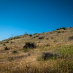
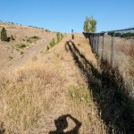
Let’s set the scene, starting with the view of our destination from the lower maintenance road at the extreme east edge of the cemetery, looking south toward the ridge and showing the rough route that we will hike to circle around the chain link fence surrounding the cemetery and turn uphill, at first along a narrow path above a lower gulch, then onto a steep (despite the photo perspective’s appearance) off-road ATV vehicle-only gravel to the AT&T communications tower. (That was one paragraph …)
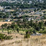
Now we have hit the gravel trail, with the AT&T tower behind us, so we can overlook the cemetery (looking west and north to Mt. Emily), along with much of the city and surrounding valley.
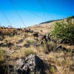
Here are some snapshots of the hike itself.
Finally, here is a panorama shot of the backside of the ridge, to the south of the communications tower, and leading to Mount Emily in the northwest (you may recall that we displayed a pano shot overlooking the valley in the other direction in a previous post).
